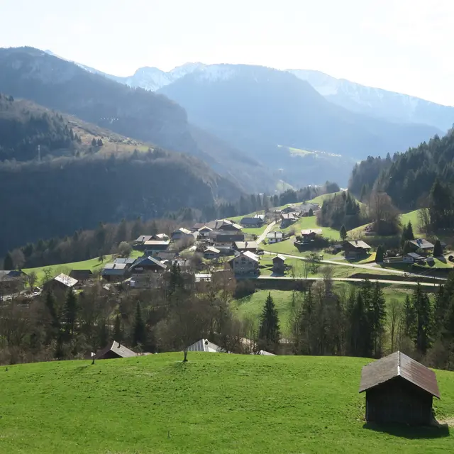
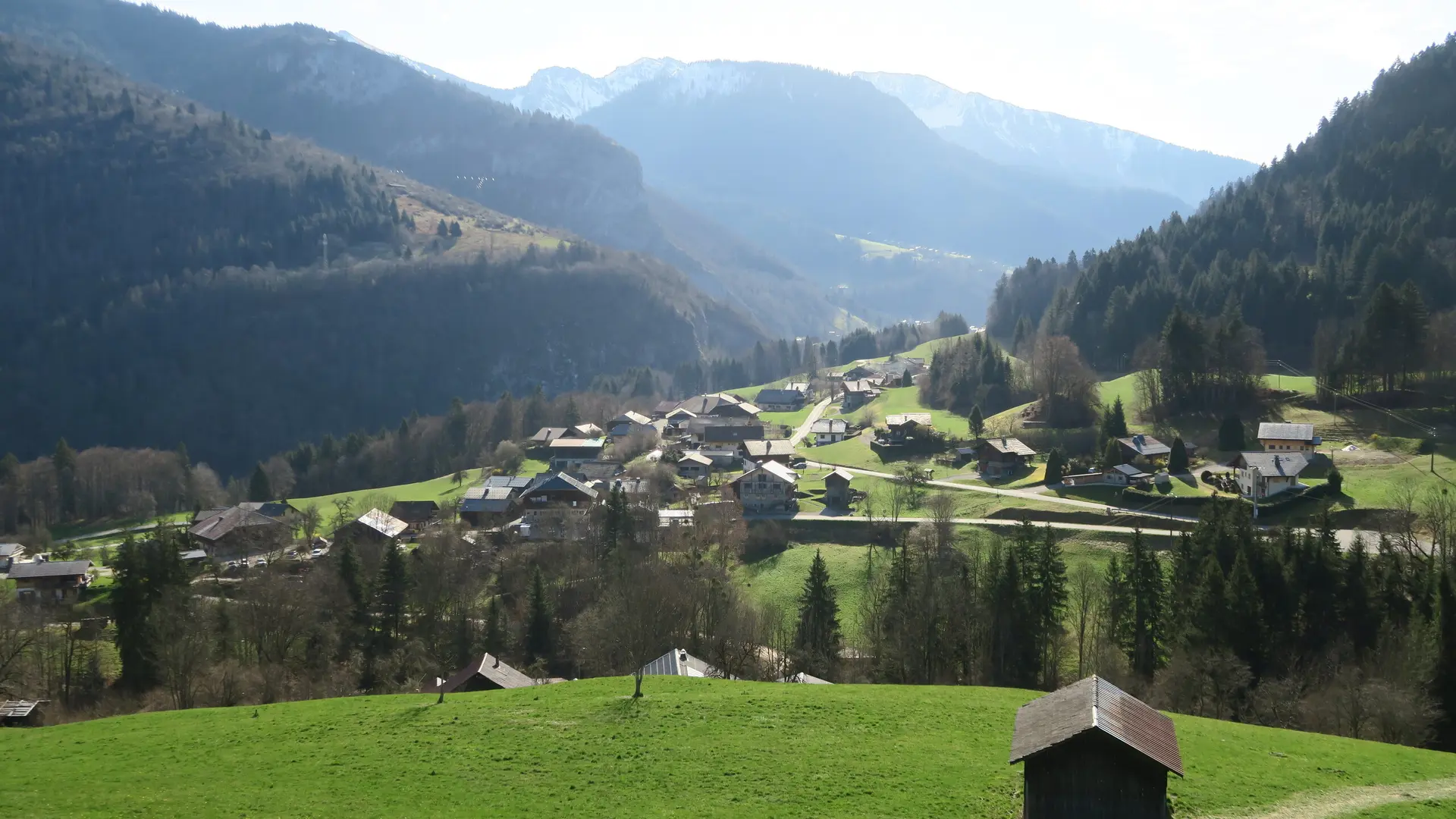
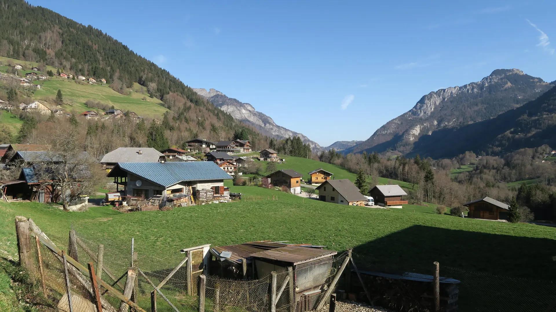
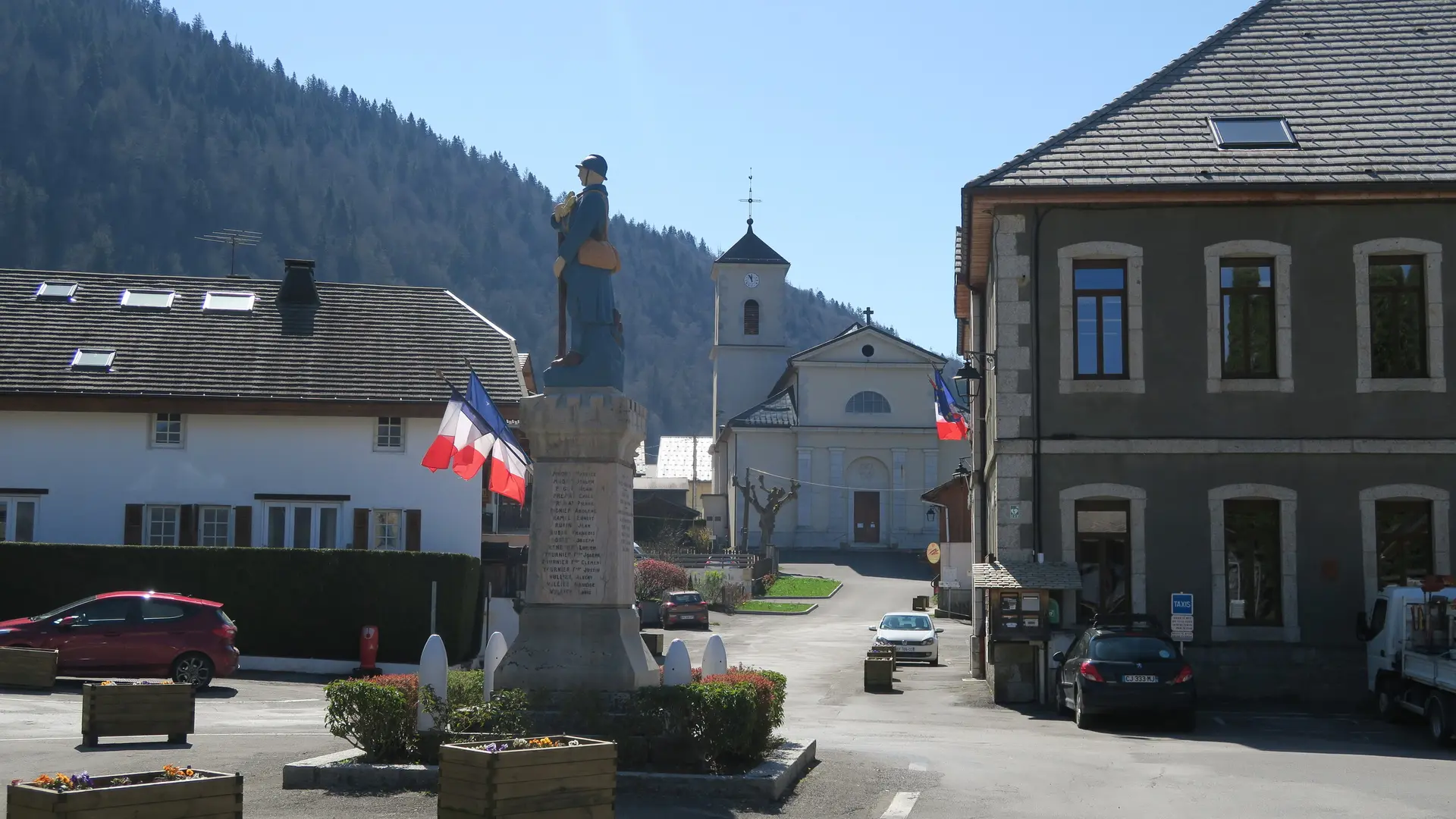
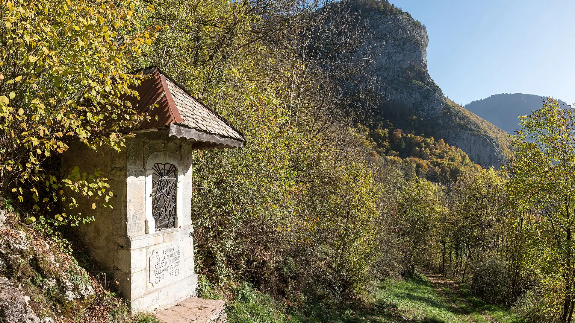
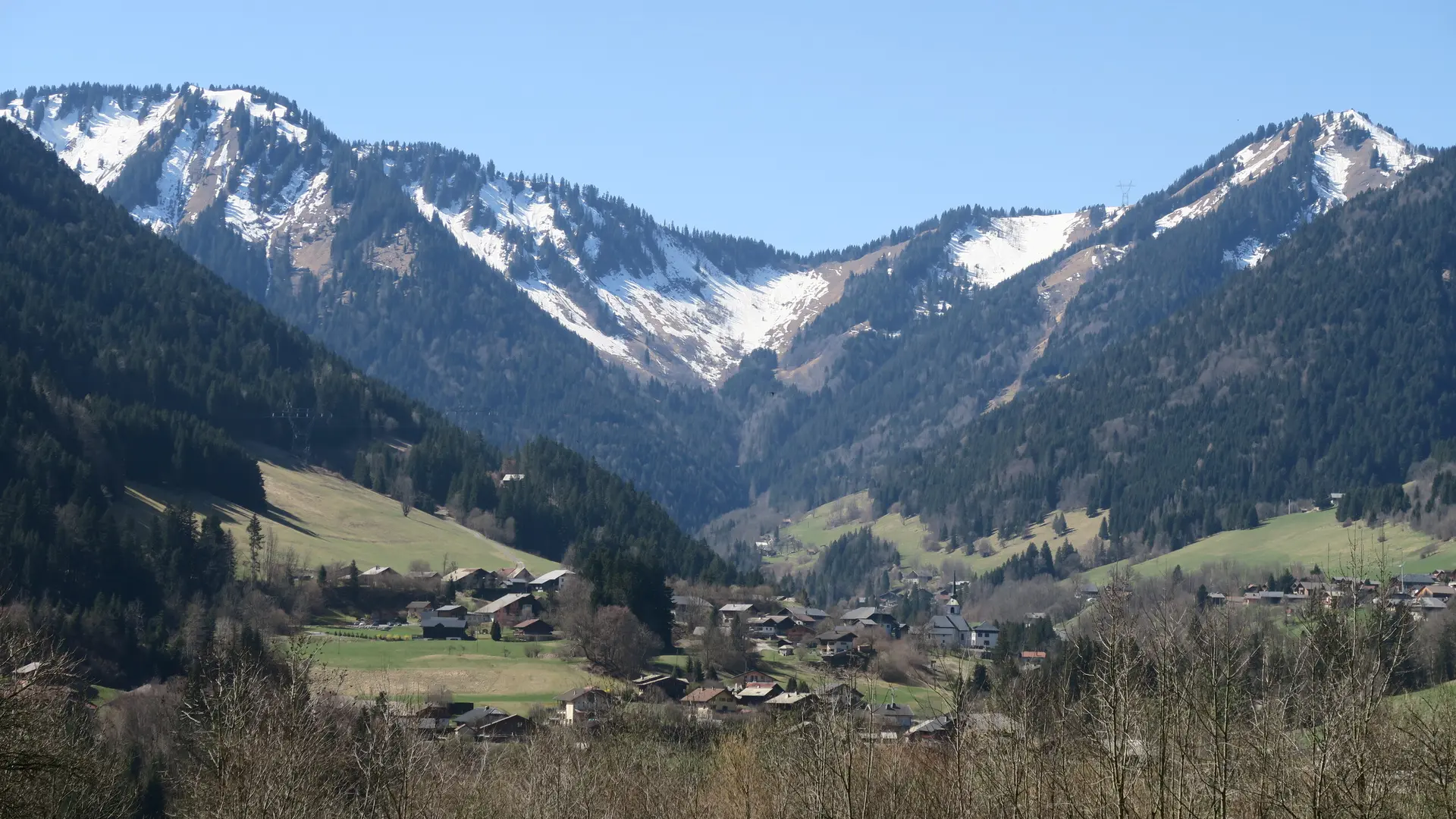
Discover the picturesque hamlets and villages of the Vallée d'Aulps: a hike where nature and culture intermingle along the way. Our cultural heritage, surrounded by a remarkable natural environment, will hold no secrets for you!
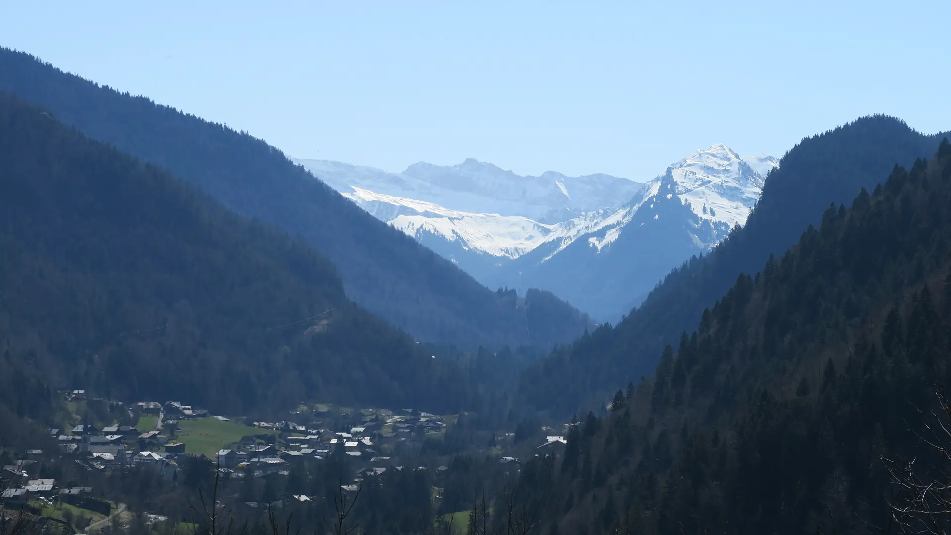
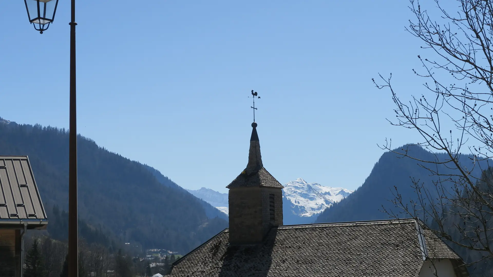
Along the way, discover the villages of Seytroux, Le Biot, La Baume, the Jotty dam and the superb Mont Ouzon.
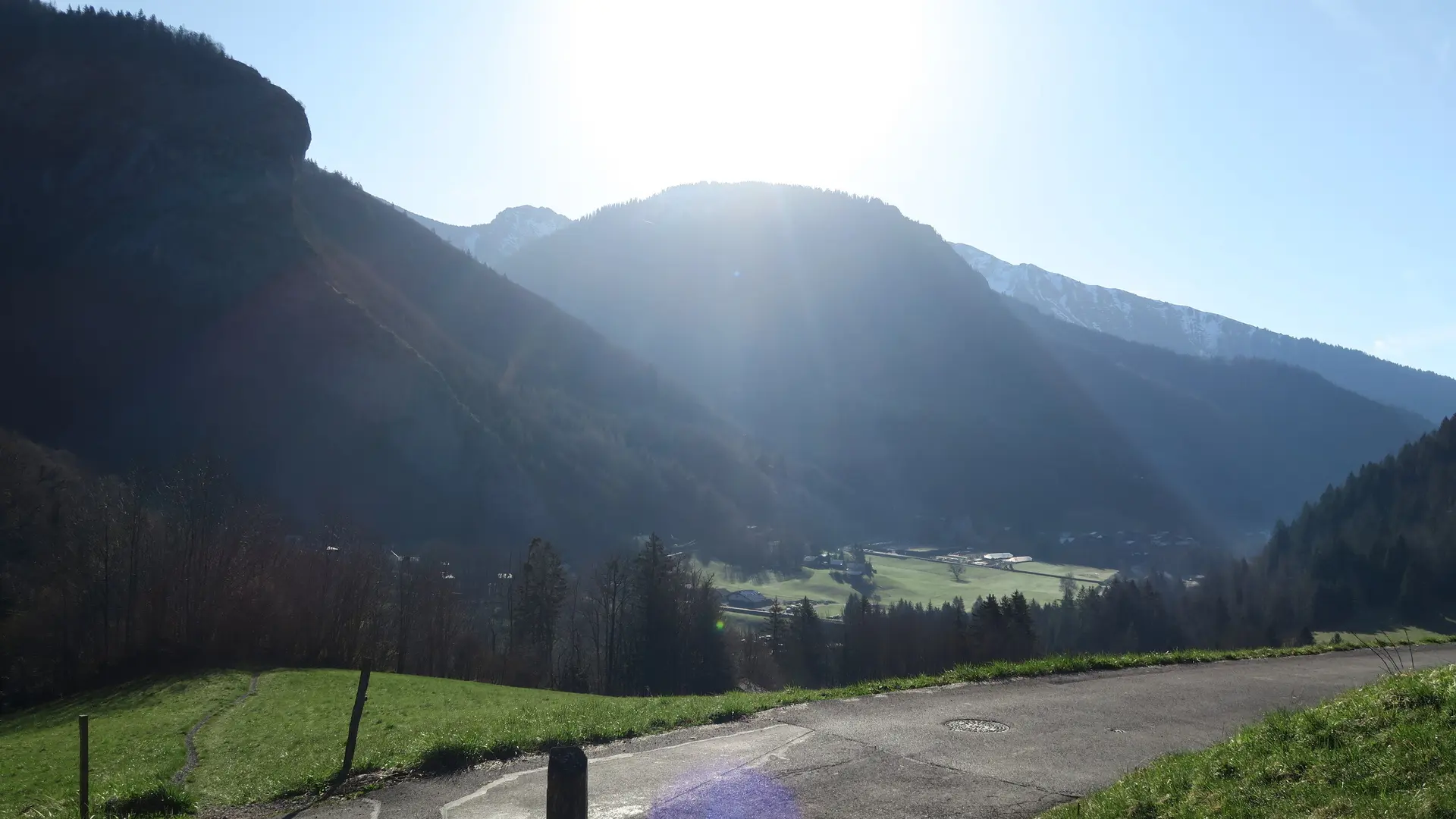
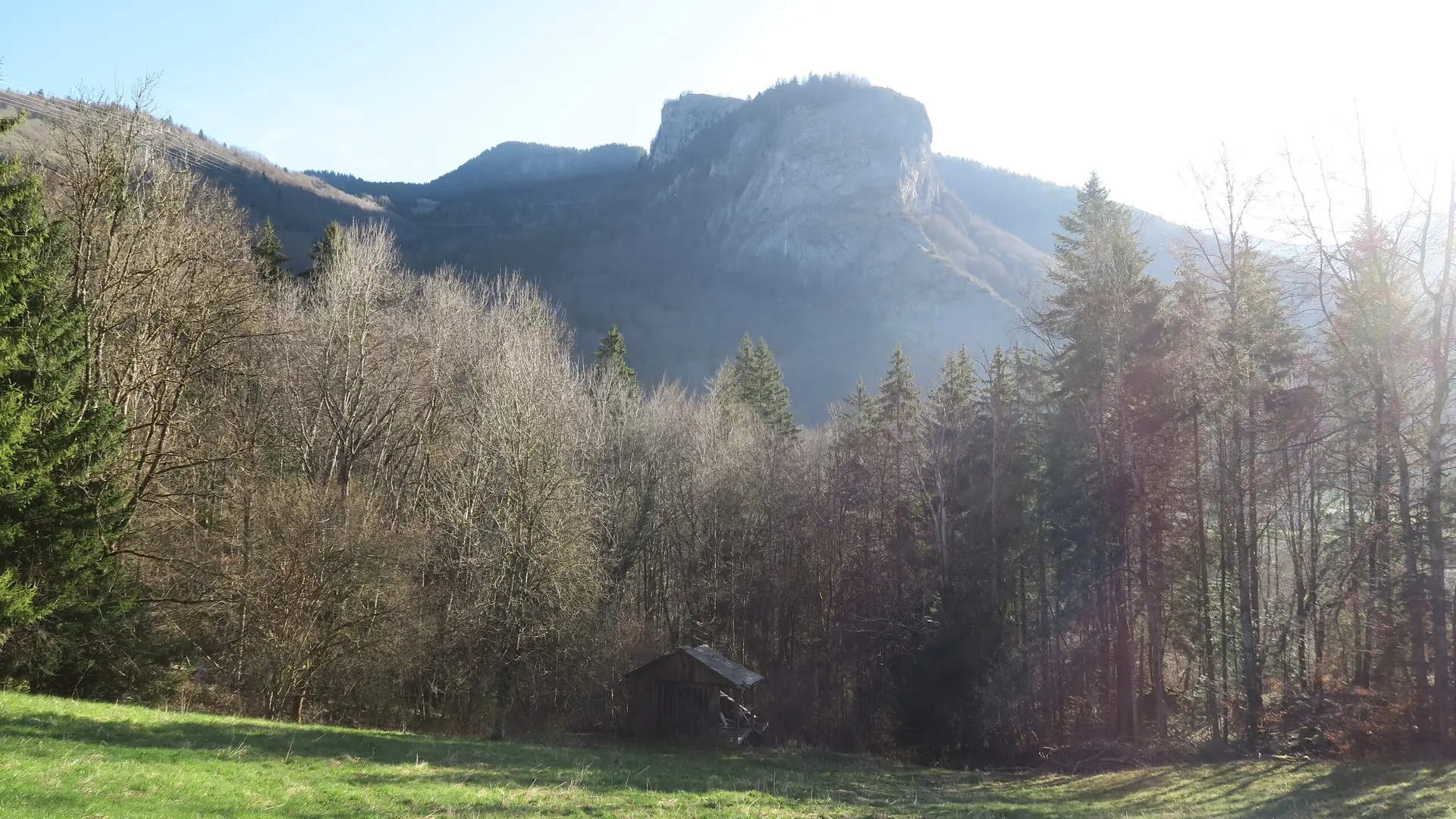
A trail partly in the forest, where you can enjoy the natural coolness of summer.
This route crosses the main road twice. At these points, you should be very careful before crossing and walk faster as you do not have the priority. The route is not suitable for pushchairs and we do not recommend it for young children.
- Choose your route according to your physical condition and the weather conditions.
- Follow the instructions for signposting.
- Don't set off too late in the afternoon, to make sure you're back before dark.
- Take sufficient food and water with you. Mountain sports require a lot of energy.