Fishing at the lake "Plan du Rocher"

  • Fishing
  • Fishing site - 1st category
  • Fishing site - 2nd category
Elevation : 1500m
74260 Les Gets
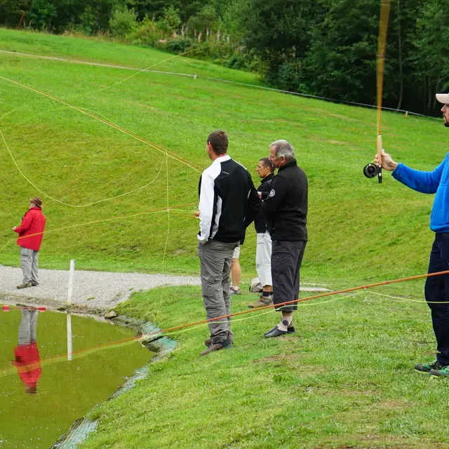
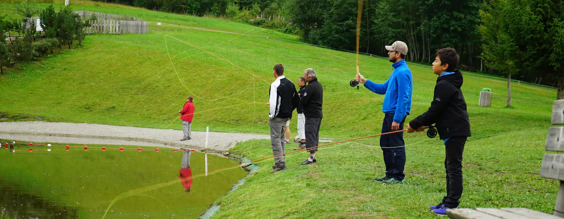
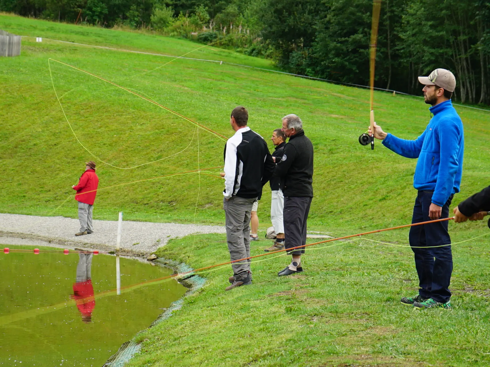
A fishing permit is compulsory to fish in the region, whether in the lake or in streams or in rivers. Situated in the Chavannes , the lake is accessible on foot (20 mn). Fishing licence on sale online and at the Tourist Office.
The lake of the "Plan du Rocher" is a mountain lake of category 1. Situated at 1500m altitude, its surface is of 350m2 and its depth of 4m (max). This lake is essentially populated with rainbow trouts.

Brown trout, rainbow trout, fairly easy hiking level

Depth of the lake: 4 metres

Lake surface area: 350m²

Services

Services

Picnic area

Payment methods

Payment methods

Payment methods

CheckCheck
CashCash

Openings

Openings

From 1 May 2026 until 7 October 2026 - Open everyday
From 1 May to the third Sunday following the third Sunday in September

Location

Location

Fishing at the lake "Plan du Rocher"
Elevation : 1500m
74260 Les Gets

Spoken languages

Spoken languages
  • French

Environment

Environment
  • Mountain location

Access

Access
  • D902 to Les Gets station, then follow Route des Chavannes to its end.

Nearby

Nearby

Updated on 23 January 2026 at 11:13
by Office de Tourisme des Gets
(Offer identifier : 7140196)
Report mistake
Close
Filter search
Page types
  • All
  • Articles
  • Agenda
  • Lists