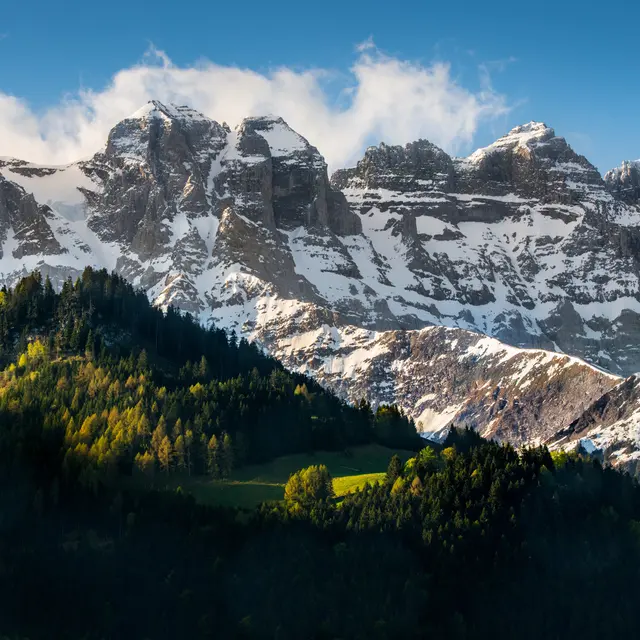
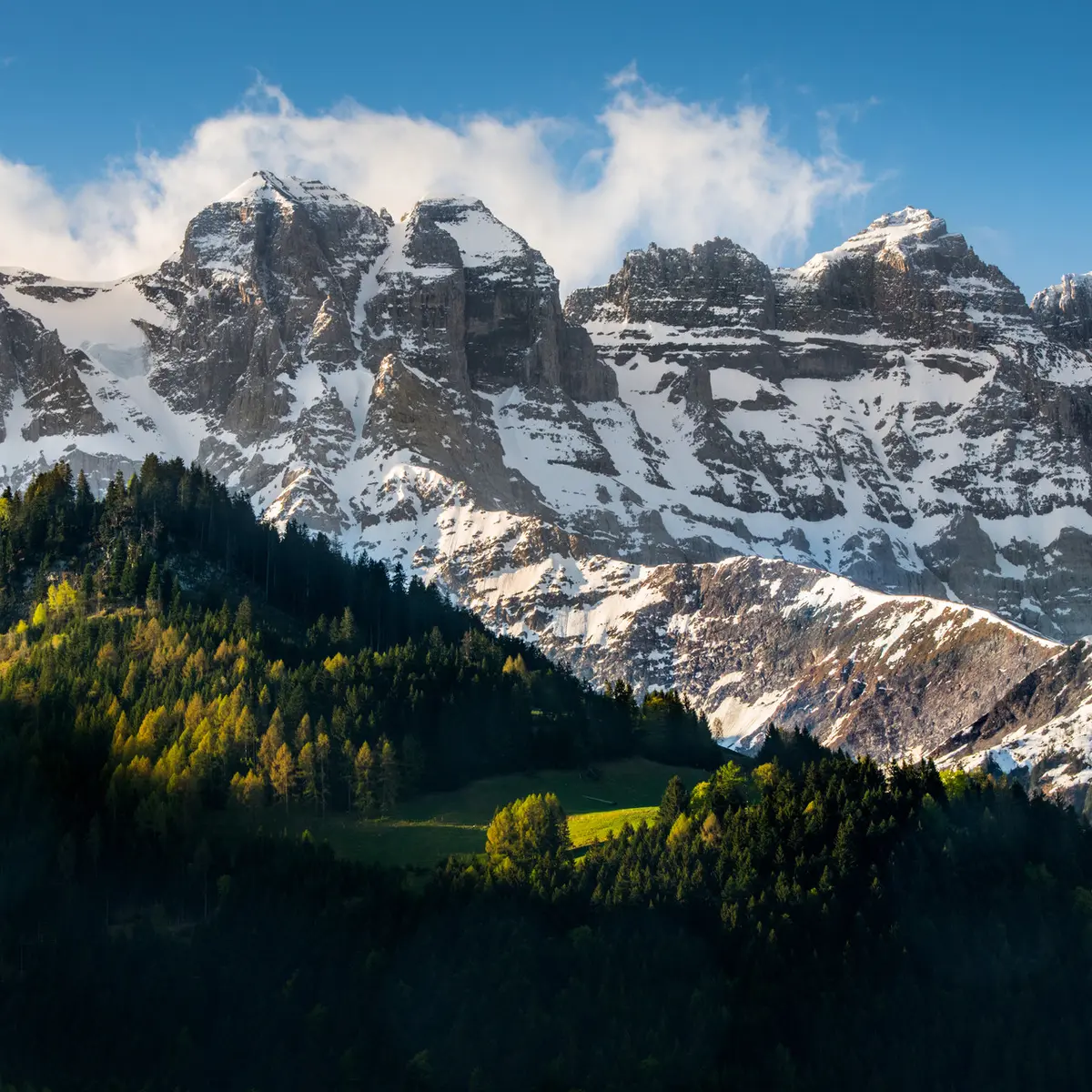
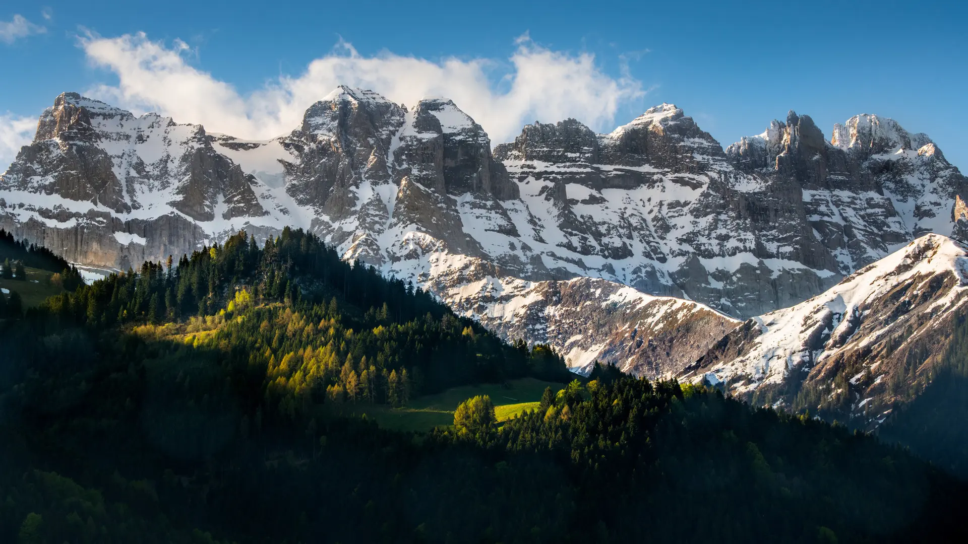
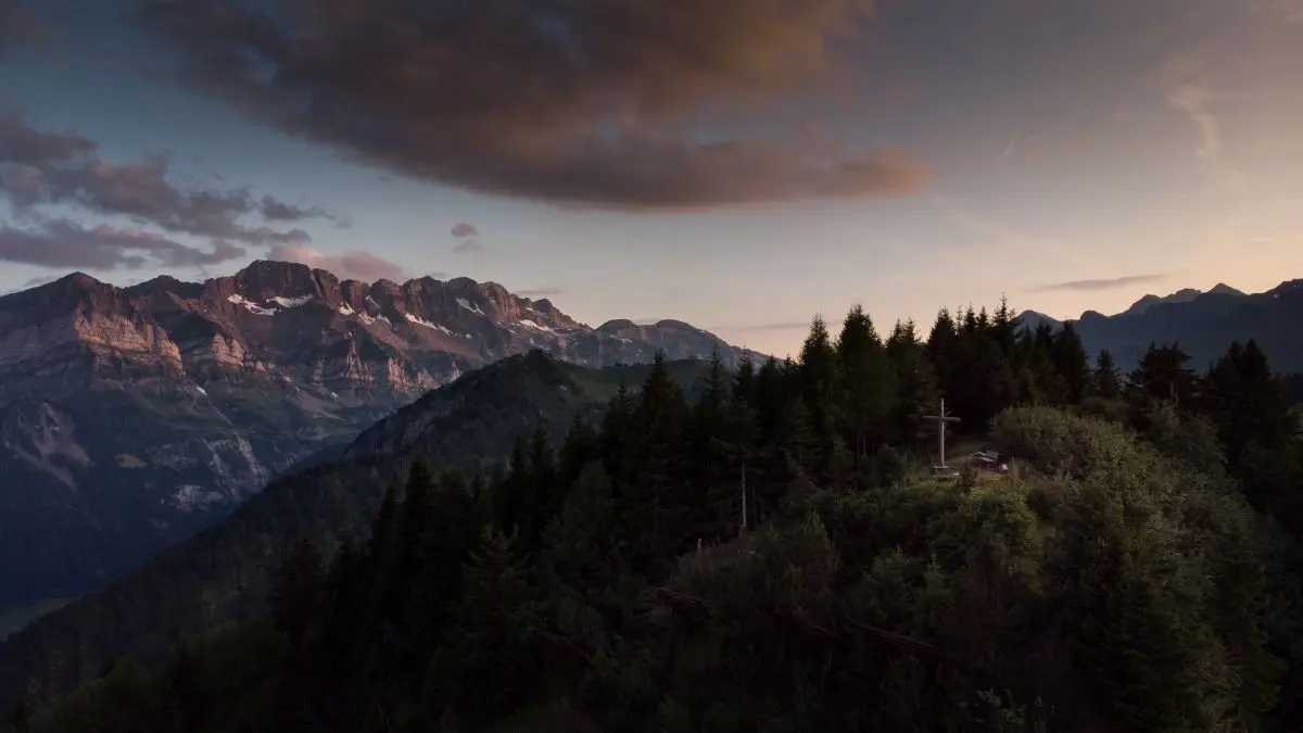
Rising between Les Crosets and Champoussin, this promontory is a piece of alpine paradise with spectacular views over the Illiez Valley, the Dents du Midi and the Vaudois Alps.
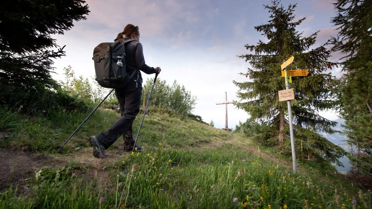
Frâchette - Croix de l'Aiguille - Pas de Croisette - Chemin de l'Aiguille - Frâchette
Start from the Frâchette covered picnic area on the road to Champoussin.
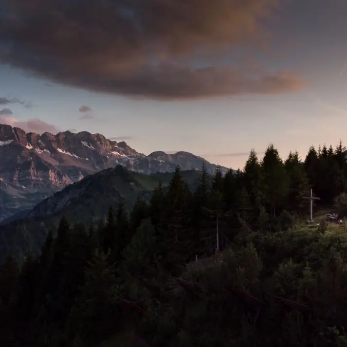
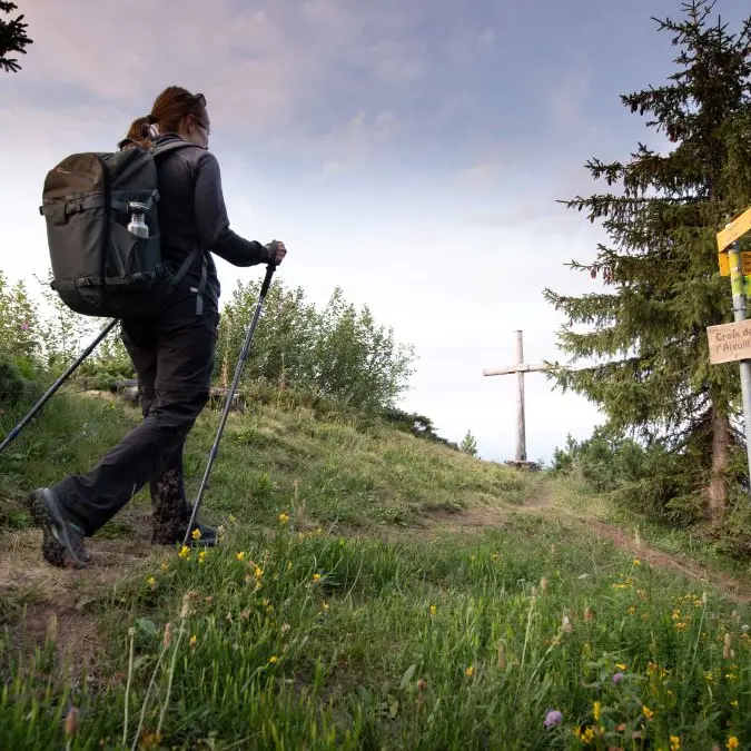
Take the path towards the Croix de l'Aiguille. A few meters from the start, follow the path that heads slightly to the right along the ridge. At the main intersection near the area called the 'Gouille', continue on straight. The path will become steeper as it follows the ridge. At the clearing where the paragliders take off (windsock), turn right to climb to the top of the Croix de l'Aiguille.
Hike back down the ridge towards Les Crosets until the area called 'Pas de Croisette'. Continue downhill a few metres in the direction of Crettet-Bornay, then take the grassy path to the Chemin de l'Aiguille. From here, a wide path will take you back to Frâchette.
*Easy alternative: (see map under useful links)
If you don't want to take the steeper trail along the ridge, you can continue on the wide Chemin de l'Aiguille and turn off further onto another large trail (not marked) that leads below the paragliders' windsock.
Read more