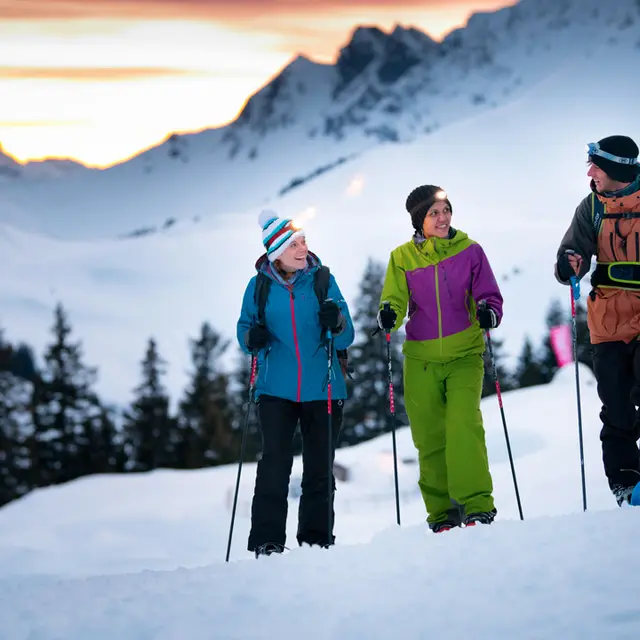
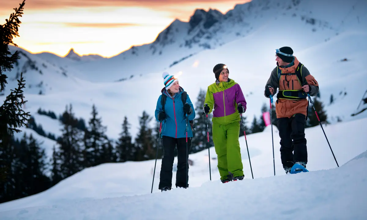
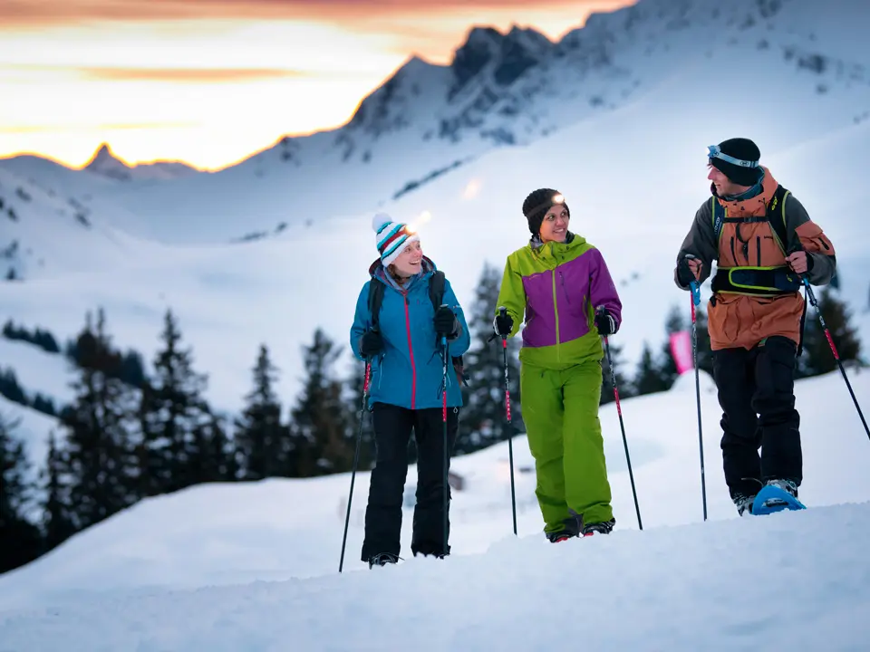
Follow the pink #2 snowshoe signs.
Leaving from the large car park at the entrance to Champoussin, head to the right, cross the bridge, and follow the river to your right. Walk along the hillside, taking in the spectacular views of the Rhone valley and the Vaud Alps along the way. At the site called Tronchay, head downhill, over the Délifrette Bridge and uphill again along the road.
At the fork in the road, you have 2 possibilities :
- Short variant (route proposed on our map) :
Total 1h45, 4 km, ascent 150m.
Head straight back on the left-hand path, passing below the departure station of the Sépaya skilift to return to your starting point in Champoussin.
- Medium variant (see map under Useful links)
Total 2h15, 5.4 km, ascent 280m.
Turn right on the wide path, do a little loop and come back to the
junction. As for the short variant, take the left-hand path, passing below the departure station of the Sépaya skilift to return to your starting point in Champoussin.
Read more